San Juan County Conservation Land Bank
Turtleback Mountain Preserve
Orcas Island
Activities


Features


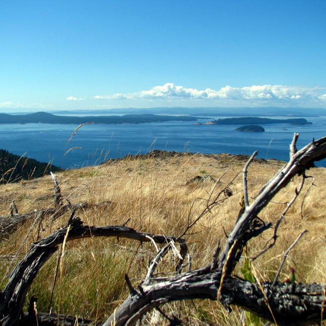
Turtleback Mountain Preserve is one of the largest (1,718-acre) undeveloped places in the county. Treasured by islanders for its dark, undeveloped ridge line, it is a refuge for wildlife and a haven for those who wander the trails through a mosaic of forests, wetlands and open meadows. Sheltering a variety of special habitats and species, the Preserve is ecologically significant as well as beautiful. Grasslands and Garry oak woodlands cover the mountain’s dry southern slopes while conifer forest blankets the remainder. Pocket wetlands scattered about the property provide crucial habitat for wildlife and moisture-loving plants. Seasonal drainage from the mountain nourishes the fertile wetlands of Crow Valley and the rich marine habitats of West Sound. Towering over Crow Valley and West Sound, Turtleback Mountain is visible from many vantage points throughout the county and is one of the most familiar and beloved landscapes in the San Juan Islands.
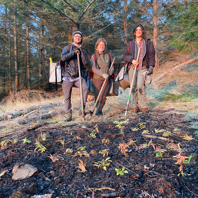
A major conservation effort in 2006 with partners and citizens made Turtleback a reality, and more recently, our partnership with San Juan Preservation Trust expanded and connected public access from Turtlehead to Turtleback via what is known to the community as “Turtleneck”. Turtleback Mountain Preserve has been protected through the efforts of the Conservation Land Bank, the San Juan Preservation Trust, the Trust for Public Land, and more than 2,000 private donors.
1718
ACRES PRESERVED

Trail Description
Turtleback Mountain Preserve is a recreational resource. Its high meadows and rocky ledges provide unparalleled views of the San Juan and Canadian Gulf Islands. There are over 8 miles of primitive trails for hiking, bird watching, and wildlife viewing. All trails are open for pedestrian use year-round. Trails for pedestrian use only are accessed at the South trailhead. Trails for multiple use—pedestrian, equestrian, and mountain bike—can be found at the North trailhead. Bikes are permitted on even calendar days only; horses on odd calendar days only; and pedestrians are welcome on all days. There are no garbage cans or water. To ensure a quality experience for all, groups larger than 15 individuals are asked to contact the Land Bank at 360-378-4402 in advance of their visit.
Preserve Map

When you visit
• Stay on designated trails.
• Day use only, no camping.
• No fires.
• Non-motorized use only.
• Leash your dog and pack out waste.
• No hunting
• Follow leave no trace principles. Take nothing and leave nothing.
Driving Directions
North Trailhead from the Orcas ferry landing:
Take Orcas Road 3.4 miles to the intersection with Nordstrom Lane. Turn left and travel west to the intersection with Crow Valley Road at 4.0 miles. Turn right and travel north. At 5.7 miles from start, a sign directs to a gravel drive and parking on the left.
South Trailhead from the Orcas ferry landing:
Take Orcas Road for 2.4 miles. Turn left on Deer Harbor Road. Pass through West Sound and continue on to Wild Rose Lane at 4.8 miles from start. Turn right and follow Wild Rose Lane to the parking area on the right.
Click the links below to see what flora and fauna others are observing at this Preserve.