San Juan County Conservation Land Bank
Lopez Hill Preserve
Lopez Island
Activities



Features


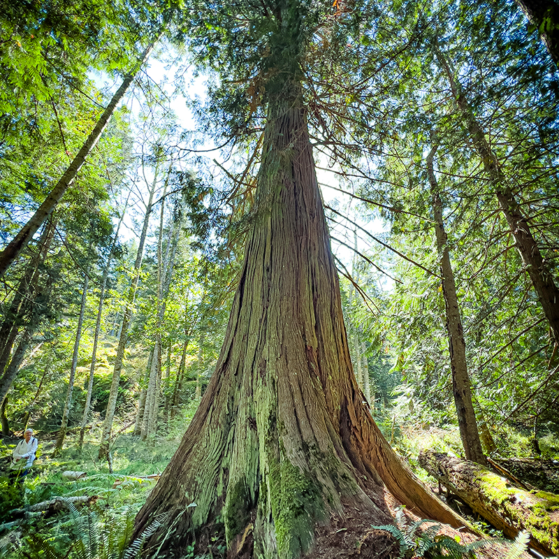
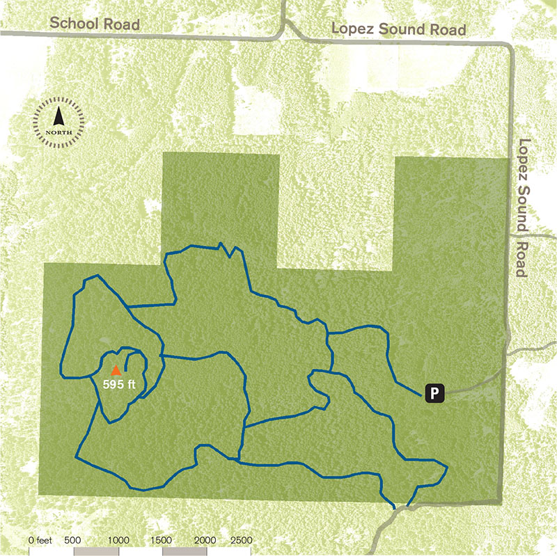
Lopez Hill Preserve encompasses 475-acres, including the highest point on the island. The property is notable for its expanse of mature second-growth forest, diverse freshwater wetlands, and scattered rocky meadows. Originally owned by the Washington State Department of Natural Resources, the Conservation Land Bank negotiated a 50-year lease in 2009 to manage the property for its ecological and recreational values. In 2018, the Land Bank purchased the property outright. A few years later ,and additional 75 acres was preserved. Click here for a detailed trail map helping hikers, bikers, and horseback riders navigate the extensive trail network.
475
ACRES PRESERVED
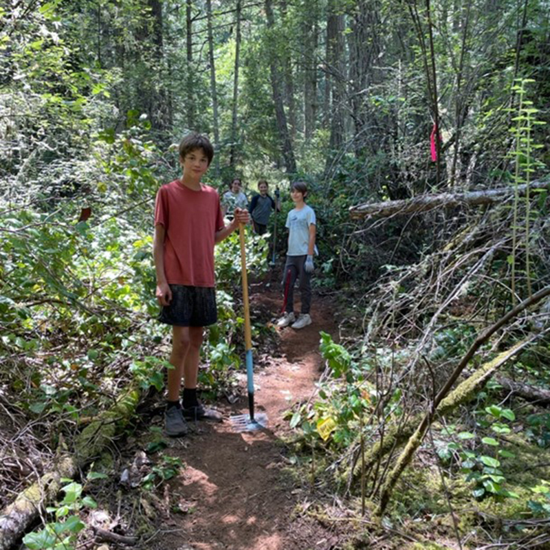
Trail Description
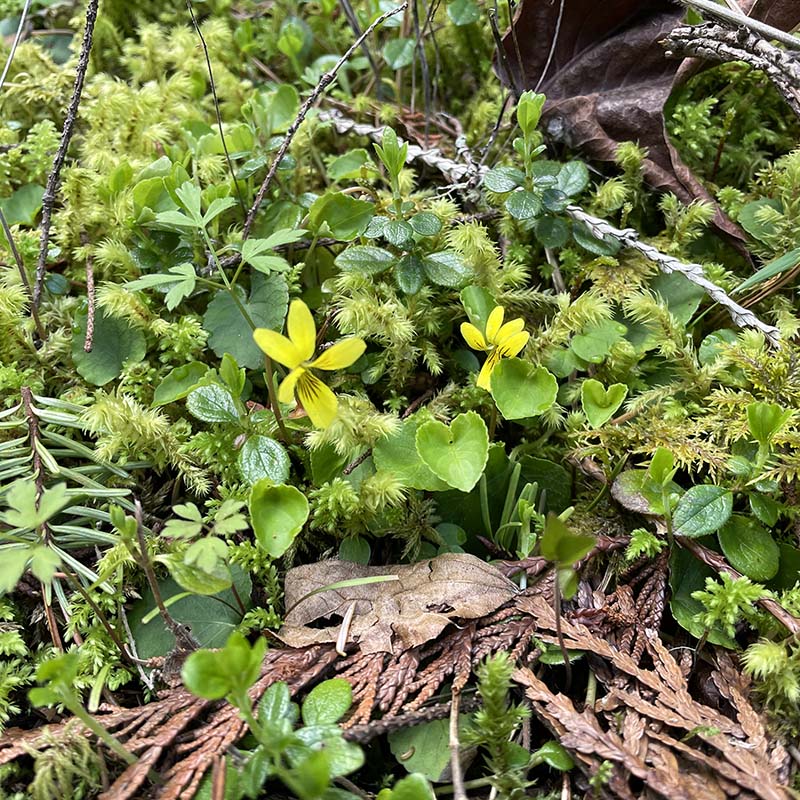
Quiet Lopez Hill supports an expanse of mature conifer forest, as well as seasonal wetlands and rocky meadow openings. Over four miles of primitive trails are open to pedestrians, equestrians, and mountain bikers. Limited deer hunting is also permitted; hunters must contact the Land Bank for current regulations.
Preserve Map
When you visit
• Stay on designated trails.
• Day use only, no camping.
• Non-motorized use only.
• No fires.
• Leash your dog and pack out waste.
• Follow leave no trace principles. Take nothing and leave nothing.
Driving Directions
From the Lopez ferry landing:
Take Ferry Road heading south. At 2.2 miles, turn left onto Center Road. At 6.45 miles, turn left onto School Road. At 7.55 miles, take a sharp right onto Lopez Sound Road. At 8.8 miles, turn right onto the bumpy gravel entry road., which ends at the parking area, at 9.0 miles from start.
Click the links below to see what flora and fauna others are observing at this Preserve.