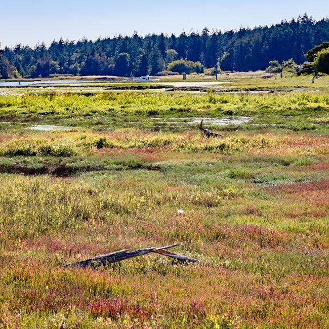

Photos by Peter Fisher and Staff
© Copyright 1990 – 2025 | San Juan County Conservation Land Bank | Website by Blooming Mind Media
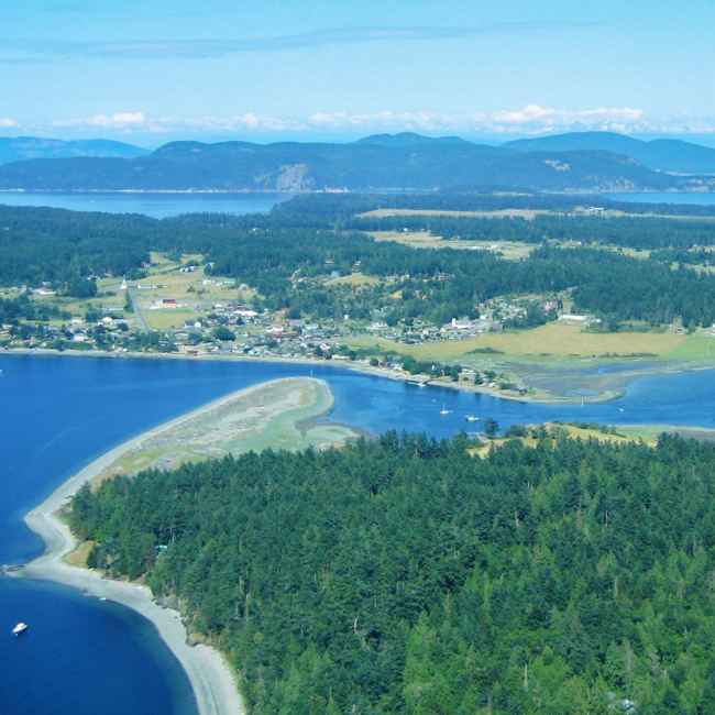
Photos by Peter Fisher and Staff
© Copyright 1990 – 2025 | San Juan County Conservation Land Bank | Website by Blooming Mind Media